-40%
LARGE FOLDING OFFICIAL ROAD MAP OF NEW MEXICO IN COLOR, 1937 LAND OF ENCHANTMENT
$ 13.17
- Description
- Size Guide
Description
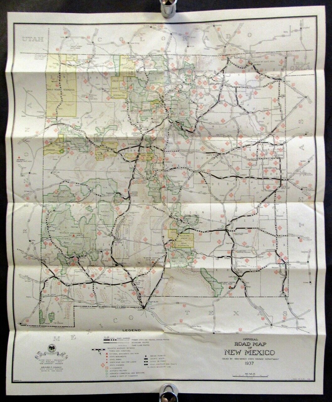
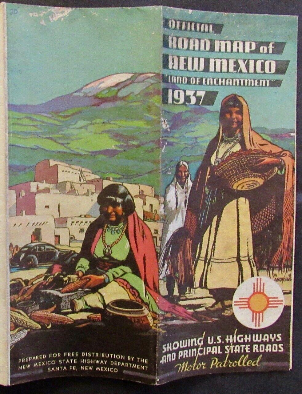
OFFICIAL ROAD MAP OF NEW MEXICO,LAND OF ENCHANTMENT,
SHOWING U.S. HIGHWAYS
& PRINCIPAL STATE ROADS. MOTOR PATROLLED
(COVER TITLE)
Santa Fe: New Mexico State Highway Department, 1937.
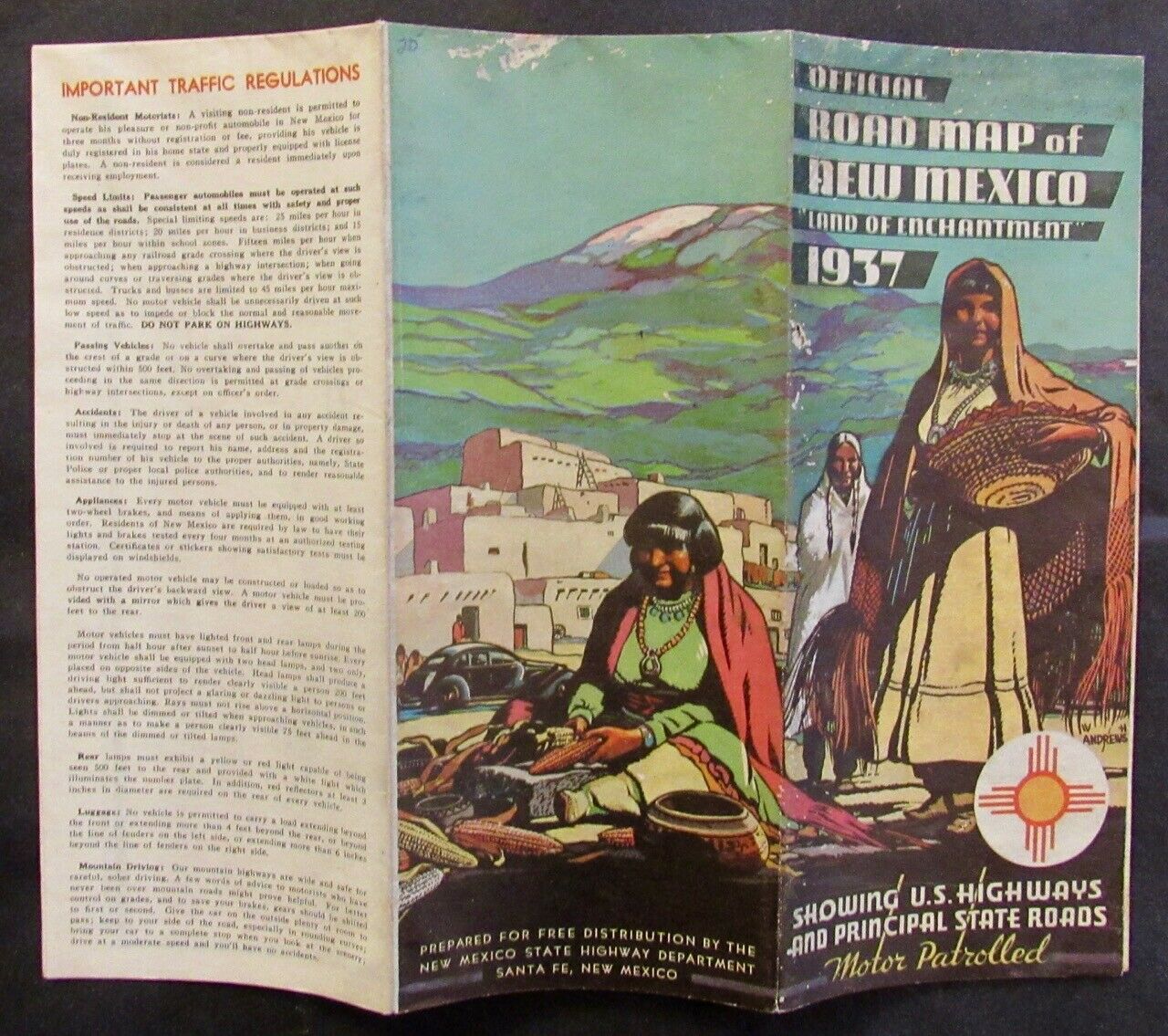
Large folding map printed in color measuring approximately 20.5 inches by 16.75 inches (including margins), folding (as issued) to 8.5 inches by 3.5 inches. The verso of the map provides traffic regulations, small "Highway Map of Western Region," brief chronological history, mileage chart, etc.
Condition:
Moderately soiled, couple of small scuffs on the covers, couple of tiny losses, otherwise Very Good or better.
Please see photos.
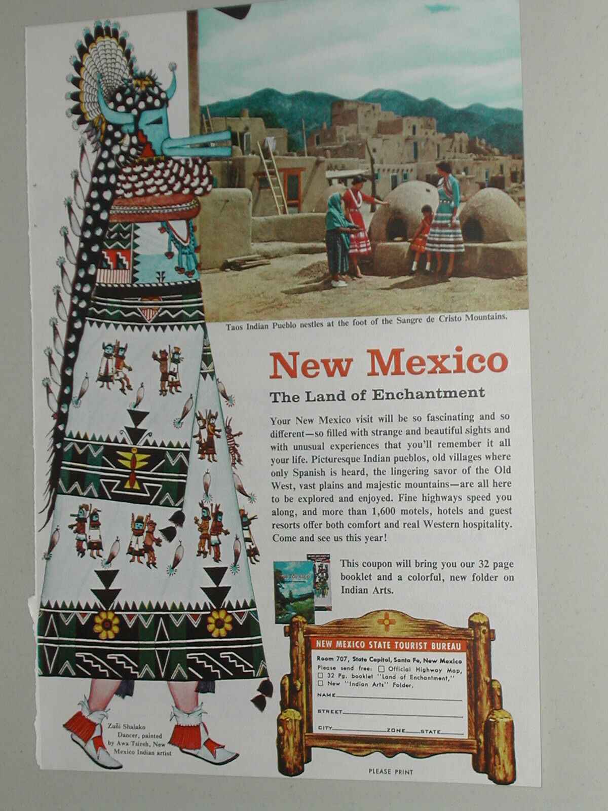
The cover illustration depicts three Native American women in front of adobe housing against a backdrop of snow-capped mountains. Quite uncommon, OCLC finds 4 copies under accession number
818882207.
The Fine Print:
We strive for accuracy in our descriptions and encourage our bidders to ask questions or share information.
For most items, we accept returns with prior notice within 14 days of receipt. The item must be returned in the same condition as shipped. In the event that we will not accept a return, it will be reflected in that particular auction.
We pack carefully using appropriate protective materials. We are, of course, happy to combine shipping for multiple purchases.
Our default shipping is by USPS Media Mail for most of our items or by USPS Retail Ground for non-book offerings. We are happy, and would prefer, to ship by USPS Priority and include that option in the Ebay Shipping calculator.
We are happy to ship internationally but at this time, due to irregularities within the USPS, we will only do so via eBay's Global Shipping program.
We do not falsify customs declarations, please don't ask.
Thanks for Looking!
Check out my
other items
!

